Summary (by AI): Exploring the Ridgeway and Lambourn Valley on foot provided me with a fascinating new perspective on a place I thought I knew, highlighting its incredible history and ancient landmarks.
Blog: I’d chosen the Ridgeway as my walk for Berkshire for the most obvious reason: it is an incredibly cool place. But because I’ve spent quite a bit of time there on my mountain bike, I wanted to find a different perspective. I started hunting around for areas in and around the trail that I could explore on foot, and I eventually landed on the Lambourn Chase and the Lambourn Valley.

It’s an area I didn’t know particularly well. Like most people, I usually just shoot straight past it on the M4 as I’m heading west. But it turns out it’s a fascinating, incredibly rural pocket of the country.
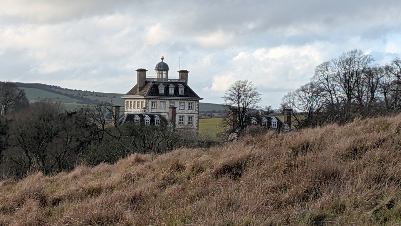
I tried a slightly different approach for this trip. I hunted down an OS map of the route and then used AI to do some deep dives into the specific landmarks I found on the map. It added a whole new layer to the walk. For instance, I started by parking at Ashdown Park, a National Trust property featuring a striking, Dutch-style house that looks like it belongs in a fairytale. I discovered it was originally built in the 1660s by William Craven, the first Earl of Craven, as a romantic refuge for Elizabeth Stuart, the "Winter Queen" of Bohemia. He was a lifelong devoted follower of hers, and the house was meant to be a sanctuary for her to escape the plague in London. Tragically, she died shortly after returning to England, never living to see the completed gift.
Within the grounds of the property sits Alfred’s Castle, an Iron Age hill fort dating back to nearly 800 BC. One of the most interesting stories I unearthed was about an enterprising Roman farmer who, hundreds of years later, decided to build his farm right within the protective walls of that original Iron Age fort.
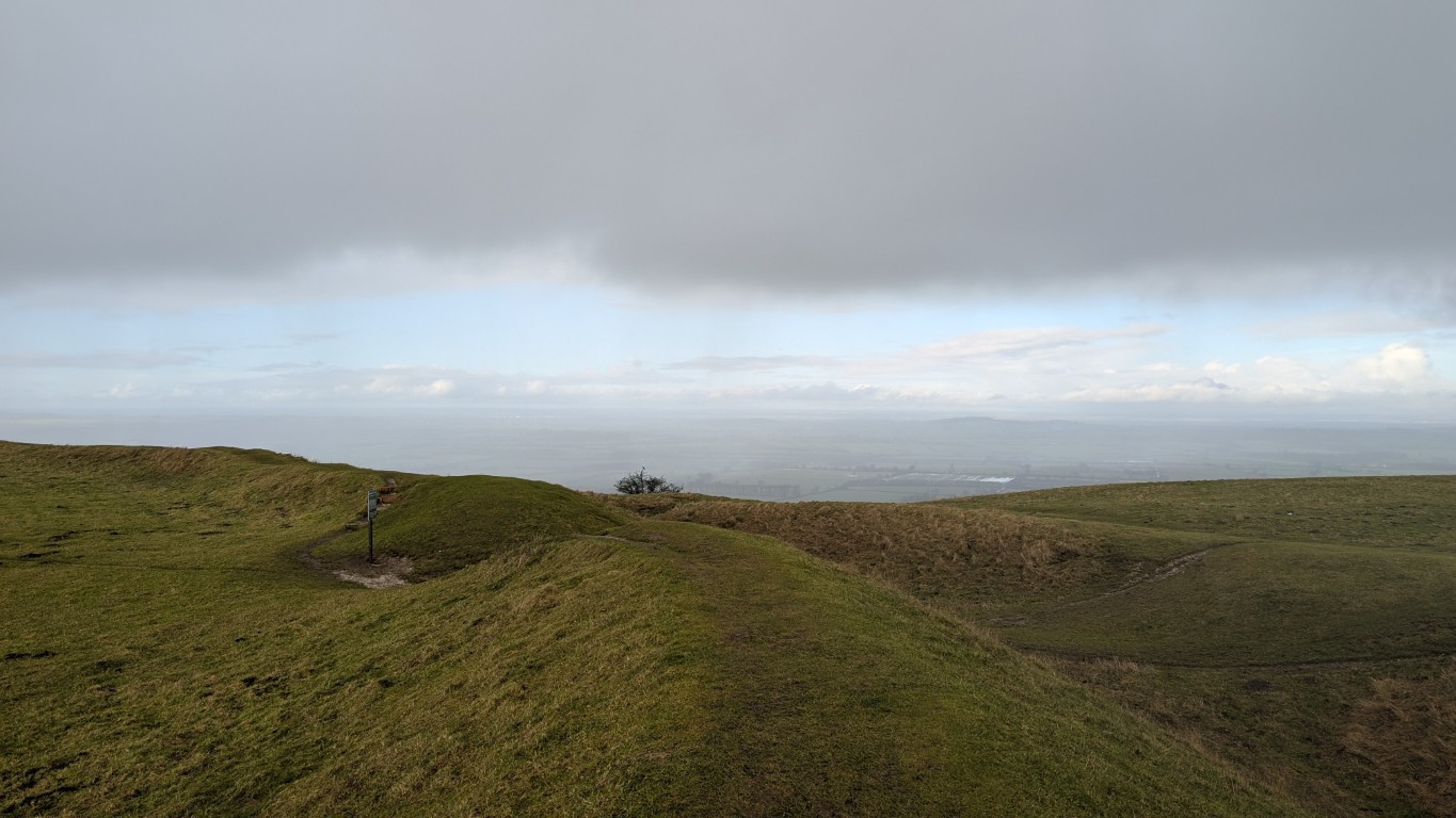
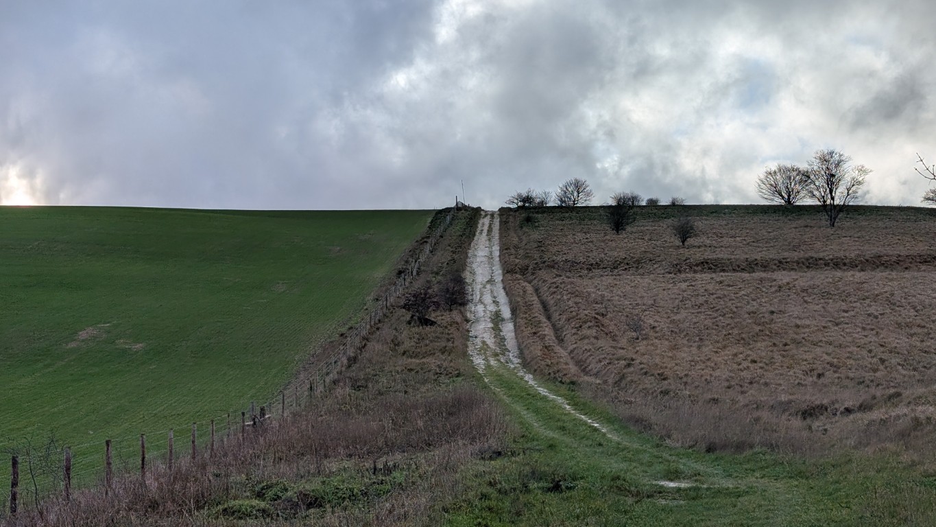
From there, I moved onto the Ridgeway itself. It is widely considered Britain's oldest road, with a history stretching back at least 5,000 years to the Neolithic era. It was originally part of a much longer prehistoric trackway that once spanned the country from the Dorset coast to the Norfolk coast, keeping to the high ground of the chalk downs. It was designed this way for very practical reasons: the elevation kept travelers above the densely forested, marshy valleys, providing a dry, firm path underfoot and a clear vantage point to spot potential threats.
The path took me past the imposing ramparts of Uffington Castle and the enigmatic White Horse Hill. The horse itself is a masterpiece of minimalist ancient art—a 110-meter-long figure scoured into the white chalk of the hillside, dating back some 3,000 years to the Bronze Age. Standing next to it, you really feel the weight of the centuries, especially with the sweeping views across the Vale of White Horse stretching out below.
These landmarks were just as impressive as ever, before I eventually looped back to the car park. It was a great reminder that even in places you think you know, there’s always more to see if you’re willing to look a little closer at the map (and have an AI subscription!).
The Map: